


 38 / 53

Ref. No. [UMCES] CBL 2016-012
ACT VS16-03
38
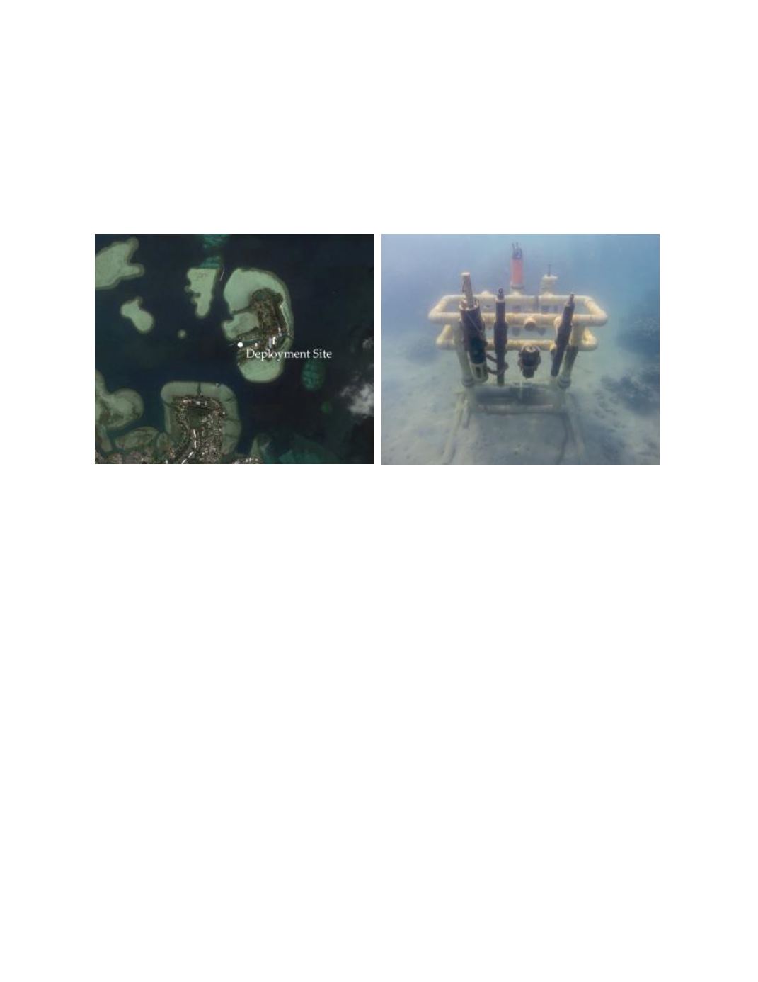
Moored Deployment off Coconut Island in Kaneohe Bay, Hawaii
An 18 week long moored field test was conducted in Kaneohe Bay from September 22,
2015 to January 20, 2016. The deployment site was located at 21.43° N x 157.79° W, on the
fringing reef flat surrounding Coconut Island (HIMB) in a depth of 3 meters (Photo 5). Kaneohe
Bay, located on the eastern side of Oahu, Hawaii, is a complex estuarine system with a large
barrier coral reef, numerous patch reefs, fringing reefs, and several riverine inputs. Tides in
Kaneohe Bay are semi-diurnal with mean tidal amplitude of approximately 68 cm day.
Photo 5.
Aerial view of HIMB deployment site (left) and instrument rack in-situ (right).
Time series results of ambient conditions for tidal height, temperature, and salinity are
given in figure 7. Temperature at the sensor level ranged from 23.1 to 29.1
o
C and salinity from
27.3 to 34.7 over the duration of the field test. The bottom panel displays the maximum difference
recorded between all reference thermistors mounted at the same depth but located across the
mooring rack. The average temperature difference observed across the space of the mooring rack
was 0.15 ±0.17
o
C, with a maximum of 1.23
o
C. Differences between instrument and reference
readings resulting from this variability should be minimized as the sampling bottle integrates
across the mooring space.
The Seabird HydroCat was not programmed correctly by ACT personnel for this
deployment and logged no data. An offer by ACT to do a limited 30 day redeployment was
declined as it was not deemed fully comparable.